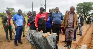
Nationwide High-Resolution Aerial Geophysical Survey Launched
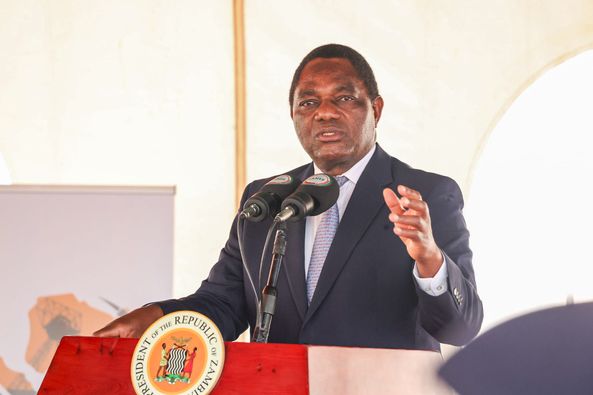
The President of the Republic of Zambia, Hakainde Hichilema, officially launched a nationwide high-resolution aerial geophysical survey aimed at uncovering the country’s hidden geological assets.
The initiative employs state-of-the-art airborne geophysical technology to identify mineral and water resources, significantly lowering exploration costs and fostering investment opportunities.
This ambitious project forms part of the government’s broader strategy to unlock the untapped potential of Zambia’s mineral wealth, with the ultimate goal of achieving 3 million tonnes of copper production by 2031.
The detailed mapping exercise will not only enhance exploration efforts but also help determine the true market value of Zambia’s mineral resources, enabling more informed transactions.
President Hichilema called on the Zambian people to support this initiative, emphasising its potential to create jobs and stimulate economic growth across the nation.